2010 Comprehensive Plan Maps
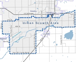 The 2010 Evans Comprehensive Plan was adopted by City Council on February 16, 2010. The following four maps were created by the GIS division and are a part of the Comprehensive Plan.
Click here to view the full Comprehensive Plan document
Map 1: Future Land Use Plan
Map 2: Planning Focus Areas
Map 3: Aerial Photography and Floodplain