Evans Geodetic Control Network and Benchmarks
The City of Evans has our own Geodetic Control Network. This horizontal and vertical control network, with control points found throughout the city, is based off of National Geodetic Reference System (NGRS) High Accuracy Reference Network (HARN) stations and United States Geological Survey (USGS) Bench Marks. There are two NGRS HARN First Order stations and four USGS First Order bench marks that were used to create this network. The original control network was created in 1998 and the vertical control network was expanded with additional points in 2003. All survey work taking place within the City of Evans needs to be tied to this Geodetic Control Network. 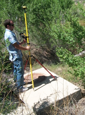
Evans Geodetic Control Network
Evans Geodetic Control Network - Additional Vertical Control Points